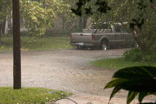
Our Street is a River, Saturday Morning
Pictures from Hurricane Ike, September 13, 2008. Ike was a major event. Power went out at our place at 6:15 a.m. on the Sat the 13th, and came back on mid-afternoon on Tuesday the 16th, about 3.5 days later. They're saying weeks for some. Cell phone and blackberry service were spotty, our land line died, but our water stayed on as did our (gas) hot water heater. See below for more details & a map of the path.

Our Street is a River, Saturday Morning
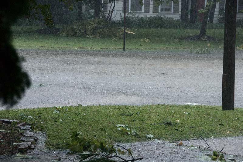
High Water Mark
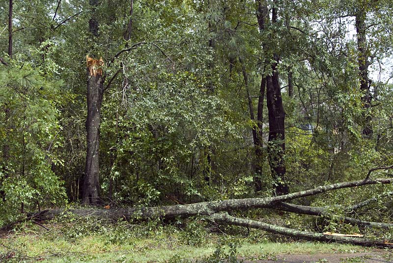
Tree Down
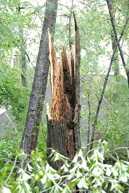
Snapped Off
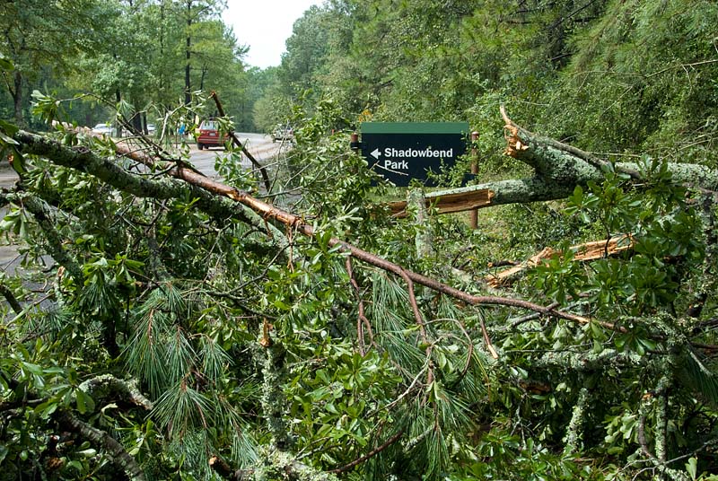
Debris by the Road
I don't think I saw any downed pine trees, more the Oaks I think. The pine trees are very flexible, bending rather than breaking or falling over in strong winds.
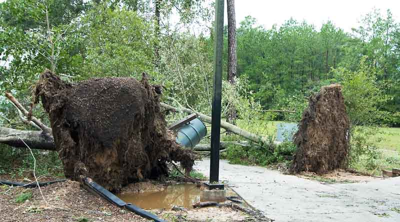
Two Trees Down...
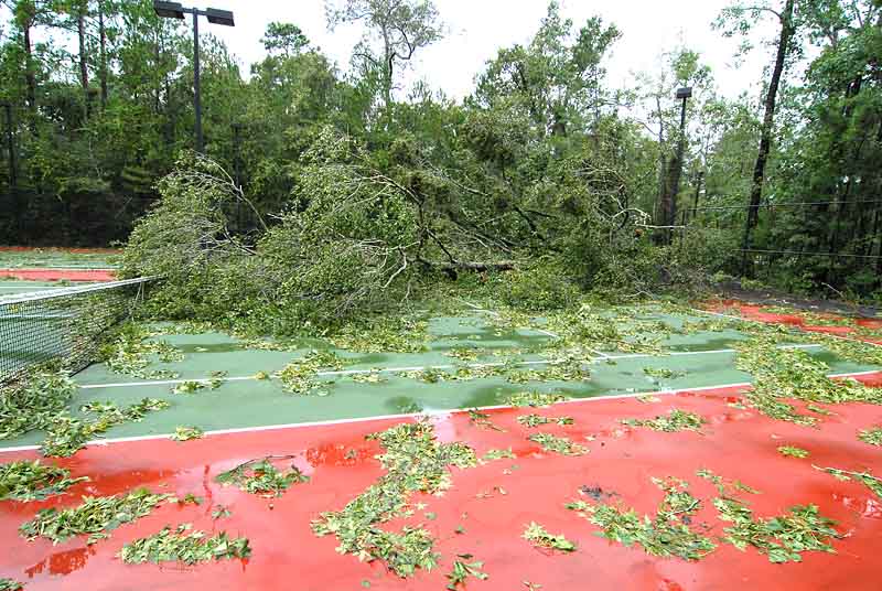
Tennis Courts Unplayable
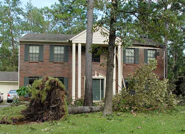
Tree Down in Yard
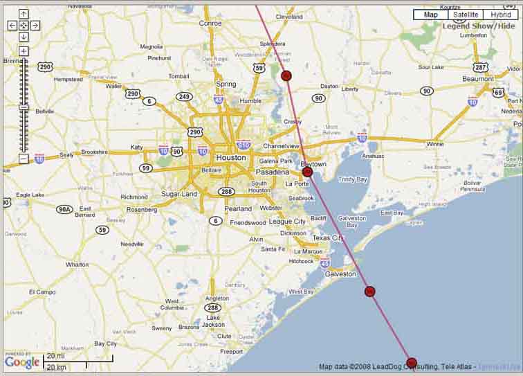
Hurricane Ike's Path
This is actual path of Ike per <http://stormadvisory.org/map/atlantic>. By my calculations this path is about 29 miles from our house, and about 59 miles from Mil & Sids (my in-law's) place in Richmond, near Clute. Our house is about halfway between Spring and Conroe, maybe 5 miles west of I-45.
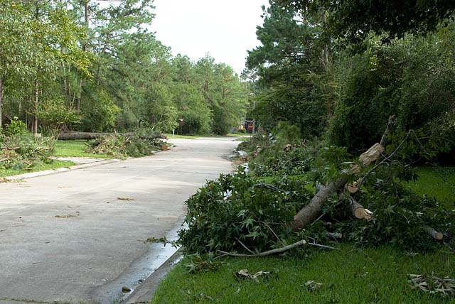
Street Scene
Copyright © 2008 Dick Locke. All Rights Reserved.
Image Use Information