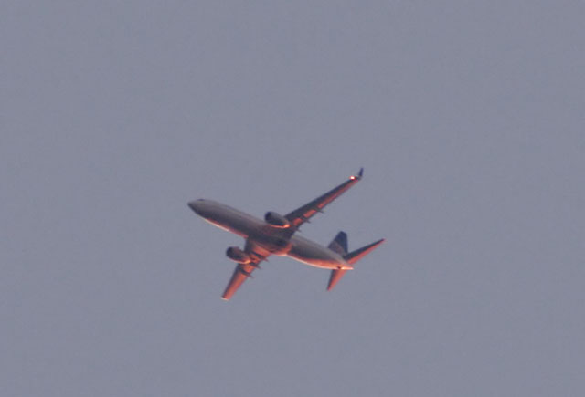
This other jet was on the way to Houston IAH...

Another view of the other jet heading to IAH.
 This other jet was on the way to Houston IAH... |  Another view of the other jet heading to IAH. |

It's great fun trying to track a jet with a telescope on an equatorial mount! This is a Continental 737-800 with the winglets per Skully; thanks! HAS Site: Jan 2, 2006
There was quite a discussion about how high up this plane was likely to be. Somewhere around 16,000 feet is the best guess, see below. These are through a telescope.

2/21/04, 6:17 p.m. Moon above is almost exactly 39 hours old by my calculations. Processed with Neat Image to remove noise & sharpen. 1/160 second, Nikon D100 at ISO 400 setting, Nikon 300mm f2.8 lens at f2.8.

...through the shot with a Digital SLR (D-SLR) camera and the Takahashi TOA 130
This picture was shot 10 miles west of Columbus, TX, putting it about 100 miles out of a presumed Houston IAH landing. The plane was heading West, 2 minutes after local sunset.
I solicited information from the 3 commercial airline pilots I know, but unfortunately I included an error in describing the plane's direction in my first note. All indicated it's difficult to know exactly.
The bottom line is that the plane is most likely in the process of descending to between 14,000 and 18,000 feet. I think this is in agreement with the air traffic controller view. If I can read the chart right, it needs to be at 10,000 feet in about 60 miles or so. This plane appeared to be relatively low, information I didn't volunteer when asking about the likely altitude. Here's some info per an ATC: I'm assuming he meant the aircraft was heading east (RL- Duh! That's what I meant to say!) over Columbus, Texas (Gland5 Arrival) landing IAH. That aircraft would be descending to 10,000ft, so I would assume if it's over Columbus, the aircraft would probably be around FL180 or below.
My pilot friend provided this info: For more info on your question, go to www.Airnav.com, select airports, type IAH into the box, scroll down to arrivals and select Gland 3 - that will show that flight path and altitude/airspeed requirements of aircraft heading east for IAH arrivals over Columbus / Eagle Lake area.
Final thought: It should be possible to calculate the height of the plane if you knew it's dimensions, and the size of the plane image as captured on the camera chip!
Copyright © 2006 by Dick Locke. All Rights Reserved.
Contact and Image Usage Information